In development
Build2SimCity Builder and Simulator
Build the roads. Zone the land. Watch the rush hour find your mistakes.
Build2Sim is a city builder and simulator that runs in a browser tab. Every car is an individual agent with somewhere to be and a route it chose itself. Nothing about the jam is scripted — when a junction fails, it failed for a reason you can find, and fix.
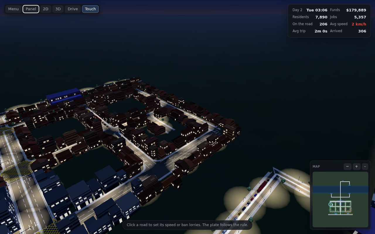
- Nothing is faked
- Cars route by shortest travel time, follow the car in front with the Intelligent Driver Model, and queue where the capacity runs out. A gridlock is a measurement, not a cutscene.
- Build flat, drive in 3D
- Plan from above, then take the wheel of any car on the road. Both are cameras on one simulation — the AI traffic sees you, and brakes for you.
- Runs in a tab
- No install, no launcher, no account. It works on a phone as well, with controls that change to suit the screen.
Build
A road is a road, not a tile
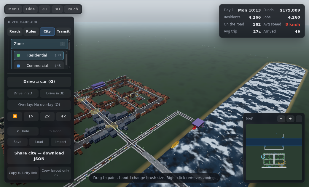
Click to start a road, click again to place it, keep clicking to chain. Everything from an alley to a three-lane motorway, drawn at any angle, snapping to real junctions rather than to a grid.
PgUp and PgDn move what you are building between tunnel, ground, elevated and high. Change level partway through a chain and you get a ramp. Two roads crossing at different levels pass over and under each other instead of forming a junction — which is how you build a flyover by hand, if you would rather not stamp one.
- 1Roadalley through motorway
- 2Zonepaint it, watch it grow
- 3Junctionssignals, stops, roundabouts
- 8Interchangesflyover, diamond, stack
Drive
Then get in and drive it
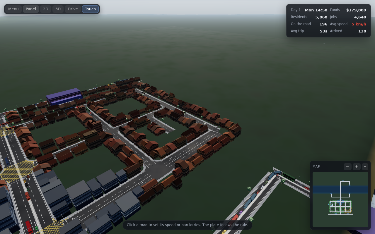
Press G and the view drops into the car. Nothing about the city changes — the planner and the road you are driving down are two cameras on the same simulation, and the traffic around you is the traffic you were watching from above.
Handling is defined by turning circle rather than steering angle, so everything can actually get round a corner. Collisions use the vehicles’ real rectangles and real masses, and how far each one moves in a shunt is set by the other’s share of the total — a car bounces off a lorry instead of shoving it aside.
- Hatchback
- 1.1 t
- 4.2 m circle
- Bus
- 11.9 t
- —
- Loaded artic
- 29.9 t
- 7.5 m circle
C cycles chase, bonnet and driver’s seat. In the seat your own car is not drawn, so you are genuinely looking out of it.
Prove it
Is a roundabout actually better here?
Select a junction and press F. The city pauses and runs forward three times over the morning peak with the junction as it stands. Then it asks you to change it, and runs the same three mornings again.
Both designs face byte-identical traffic, because the simulation is deterministic — so any difference in the numbers is the junction’s doing and nothing else’s. You get delay per vehicle, vehicles per hour, queue length, and what it did to the rest of the city, with all three runs listed so you can see the spread.
It refuses to name a winner it cannot support. If the two designs swapped places between runs, or the gap is no bigger than the spread between them, it says too close to call rather than reporting its own noise back to you.
Grid town, one morning, every junction changed at once
- Roundabouts
- 493 trips
- at 33.0 km/h
- Signals
- 361 trips
- at 14.2 km/h
A stop sign on every junction is a disaster, which is also true in real life.
Cities
Seven real cities, each with its own problem
Start from a street layout that exists, at true scale, and inherit the thing that makes it hard. Or start on empty grass, and find out how difficult a city is to lay out from nothing.
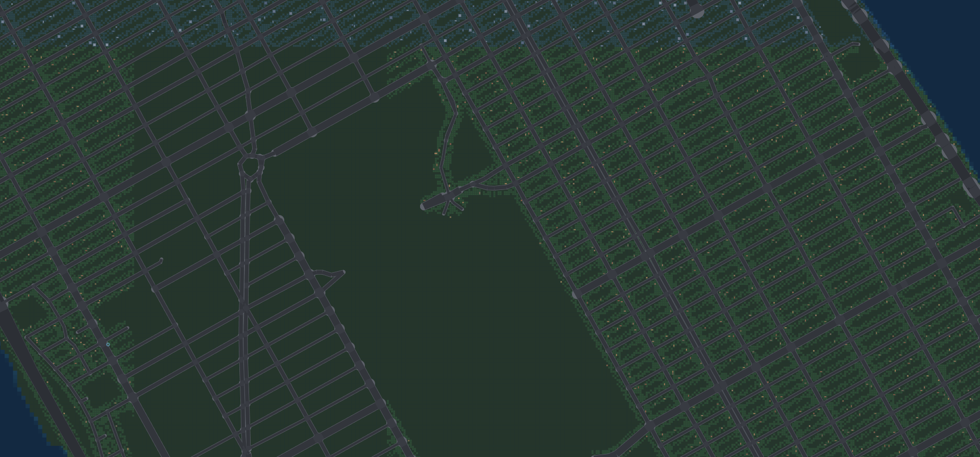
New York
Avenues run, cross streets crawl.
London
A one-way maze between the parks and the river.
Paris
Twelve avenues meeting at one place.
Tokyo
The loop is the only way around.
Dubai
One spine, superblocks, no left turns.
Budapest
Two halves, joined only by bridges.
Prague
The river is the cut; the car bridges are the bottleneck.
And places to practise
Empty land
SandboxNothing but grass. You build the whole thing.
One crossroads
GentleTwo roads and a decision about how they meet.
Grid town
StandardA working town with real rush hours.
Rail town
StandardTrack, level crossings, and what they cost the roads.
Motorway city
StandardWhat the elevation tools are for.
The bottleneck
ChallengeA jam. Fix it.
Consequences
Everything you change goes somewhere
Buses
Draw a route by clicking stops in order. Buses run it as a loop and queue in the same traffic as everyone else — jam the roads and your buses slow down too. People choose between driving and the bus by comparing journey times, weighting waiting and walking more heavily than time spent moving.
Coverage matters more than frequency. Most people never consider the bus at all, because neither end of their trip is near a stop.
Lorries
Ban lorries from a street and freight really does route around it — the router plans separately for each class of vehicle. A ban means no through traffic rather than no access, so deliveries still reach an address on a restricted street.
It is the classic way to keep heavy traffic out of a residential area, and it has the classic consequence: the lorries go somewhere, and if you ban too much they go somewhere worse.
Questions
What this is, and what it is not yet
What is Build2Sim, exactly?
A city builder and simulator that runs in a browser tab. You lay out roads, zone the land and set how junctions are controlled, then watch the morning peak find whatever you got wrong. The camera and feel take after the original top-down GTA; the point is closer to a model railway — a system you build, tune and come to understand.
Is the traffic actually simulated, or is it decoration?
Simulated. Every car is an individual agent with an origin, a destination and a route it chose by shortest travel time. It follows the car in front using the Intelligent Driver Model, changes lanes when it needs to, and negotiates junctions under whatever control you set. If a junction jams it is because that junction cannot pass the volume you are sending through it.
What stage is it at?
In development, and playable. The planner, the drive mode, buses, freight, rail, terrain and the real-city scenarios all work today. It is not finished, which is why this page has a form on it rather than a buy button.
What will it cost?
Not decided. When there is an answer, the people on this list get it first.
When can I play it?
No date to give you, and inventing one would be worse than saying so. Leave an address and you will hear when there is something to play rather than something to look at.
What do I need to run it?
A reasonably current browser. There is nothing to install and no account to make. It works on a phone too — the controls change to suit.
Will there be a community?
Yes, and it is the next thing being built. Cities already save to a file you can hand to somebody else, so there is something to share before there is anywhere to share it.
Hear about it when there is something to play
Not a newsletter. One address, one list, and a message when the city opens — plus first word on the community that opens with it.